
AutoCAD 2015
-
AutoCAD-AutoDesk

Import points and generate a digital terrain model in a CAD file
Although what interests us at the end of an exercise like this is to generate cross sections along a line axis, calculate cut volumes, embankment, or the profiles themselves, we will see in this section the…
Read More » -
AutoCAD-AutoDesk

AutoCAD 2016. End of perpetual licenses.
As a natural trend in this globalized, interconnected and almost unpredictable evolution era, software ceases to be a boxed product and becomes a service. AutoDesk is not the exception that we are already seeing with Adobe, Bentley…
Read More » -
AutoCAD-AutoDesk
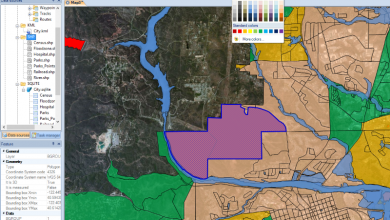
Spatial Manager: Manage spatial data efficiently even from AutoCAD
Spatial Manager is an application for spatial data management, which works independently. It also has a plugin that gives geospatial capabilities to AutoCAD.
Read More »