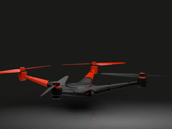
Drone Powered By AI Can Detect Obstacles
Duis sollicitudin nibh et libero rhoncus ultricies. Maecenas risus ipsum, imperdiet ac luctus sit amet, volutpat nec libero. Fusce mattis...

Sedial eiusmod tempor
Lorem ipsum dolor sit amet, consectetur adipisici elit, sed eiusmod tempor incidunt ut labore et dolore magna aliqua. Idque Caesaris...

Japanese Unagi Dumplings That Will Leave You Speechless
Lorem ipsum dolor sit amet, consectetur adipiscing elit. Nam laoreet, nunc et accumsan cursus, neque eros sodales lectus, in fermentum...

New Coffee Place You Have To Visit
Lorem ipsum dolor sit amet, consectetur adipiscing elit. Nam laoreet, nunc et accumsan cursus, neque eros sodales lectus, in fermentum...