Why digitalization reorganized data but not governance
The digital era introduced mapping platforms, spatial databases, and interoperable systems. It appeared that technological infrastructure could reconcile decades of sectoral separation. Data became searchable, shareable, and visualized in real time.
Cadastral records migrated to geospatial systems, registries automated transactions, hydraulic models became computational, and mobility systems adopted intelligent controls. Each domain strengthened its analytical capacity through digital tools.
Yet most platforms mirrored existing institutional mandates. Databases improved exchange, but decision authority remained distributed. The territory appeared unified on screen while operational logic stayed fragmented.
Digitalization reorganized information faster than it reorganized governance. Visibility increased, but structural alignment did not automatically follow.
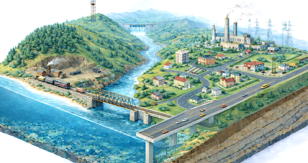
One territory. Five scenarios.
Examine how technology reshaped—but did not resolve—territorial complexity.
Previous: Scenario III | When sectors took control
Next: Scenario V | When territory demands coherence
Conceptual reference: Territorial Scenarios