
Why continuity matters more than data volume
As the city expanded, the territorial system filled with elements that persisted beyond individual projects. Parcels, roads, bridges, networks, and buildings consolidated as stable components across the built, natural, and economic environments. Yet each growth phase continued to represent them as if they were new.
Railways, highways, and later utility infrastructures reorganized the territory according to their own functional logic. Each intervention produced its own maps and inventories, disconnected from what came before. The territorial system remained the same, but digital continuity did not.
The physical territory did not disappear, but it was digitally rebuilt again and again. Each project captured a partial version of reality based on immediate objectives. When the project ended, much of that knowledge was lost or isolated.
Digital assets emerge when territorial elements stop being temporary representations and become persistent references within the system. They are not just objects with geometry, but identifiable entities structured by domains, allowing them to be interpreted according to different functional logics such as land administration, infrastructure, utilities, or territorial development. Through assets, the territorial system begins to acquire memory.
An asset does not belong to a project or a platform. It exists before and after interventions and can participate in multiple processes such as construction delivery, utilities delivery, land administration, and territorial development. This persistence is what enables continuity in territorial management.
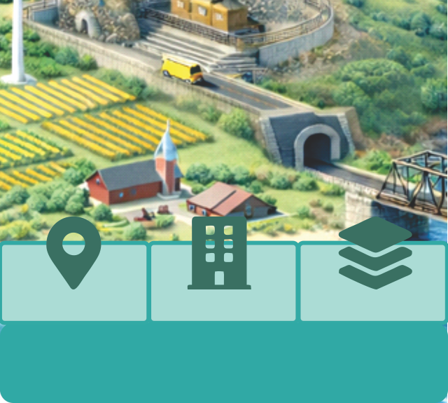
One territory. Five layers.
Discover how assets enable continuity across systems and time.
-
Next: Time Enters the System
-
Conceptual reference: TwinGEO Layers – Digital Asset Representation