
Why territory is shaped by decisions, not snapshots
Territory transforms primarily through decisions made over time. Authorizations, constructions, regulations, and omissions continuously reshape how assets relate to one another. Too often, these decisions are managed as isolated events, disconnected across systems.
Planning, infrastructure delivery, utilities operation, and land administration frequently operate on separate timelines and data structures. Each optimizes its own objectives without integration, preventing a coherent understanding of how the territorial system evolves.
Integration emerges when decisions and data flows are connected across processes acting on the same assets over time. Construction delivery, territorial development, utilities delivery, and land administration become interdependent processes supported by shared data. Through integration, territorial change becomes traceable and coherent.
Without integration, assets exist but cannot tell their story. What exists is known, but not how it came to be or under which rules it changed. The territorial system is reduced to fragmented datasets and static snapshots.
When integration is achieved, decisions gain continuity, context, and accountability. The territory stops being managed as a sequence of disconnected projects and begins to be understood as an evolving system.
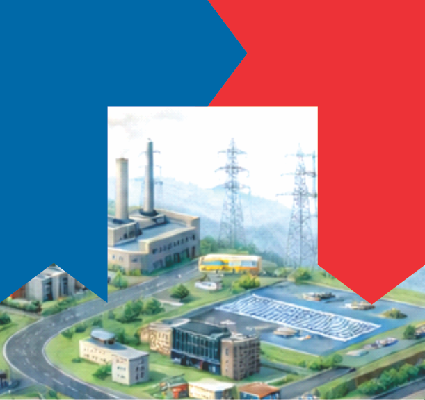
One territory. Five layers.
Understand how integration enables time and responsibility across territorial systems.
-
Previous: When Territory Begins to Be Recognized
-
Conceptual reference: TwinGEO Layers – Data Integration