
Why territory is shaped by decisions, not snapshots
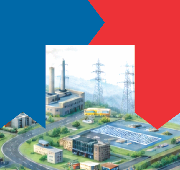
Territory transforms primarily through decisions made over time. Authorizations, constructions, regulations, and omissions continuously reshape how assets relate to one another. Too often, these decisions are managed as isolated events.
Planning, infrastructure delivery, and land-use regulation frequently operate on separate timelines. Each optimizes its own objectives without considering cumulative effects. The result is evolution by accumulation rather than coherence.
Processes emerge when decisions are understood as cycles acting on the same assets over time. Planning, permitting, construction, operation, and regulation become connected moments of a single system. Through processes, territorial change becomes legible.
Without explicit processes, assets exist but cannot tell their story. What exists is known, but not how it came to be or under which rules it changed. The territory is reduced to a static snapshot.
When processes are visible, decisions gain context and accountability. The territory stops being managed as a sequence of projects and begins to be understood as an evolving system.
One territory. Five layers.
Understand how time and responsibility enter territorial systems.
-
Previous: When Territory Begins to Be Recognized
-
Conceptual reference: TwinGEO Layers – Processes