Contour lines from Google Earth - in 3 steps
This article explains how to generate contour lines from the Google Earth digital model. For this we will use a plugin for AutoCAD.
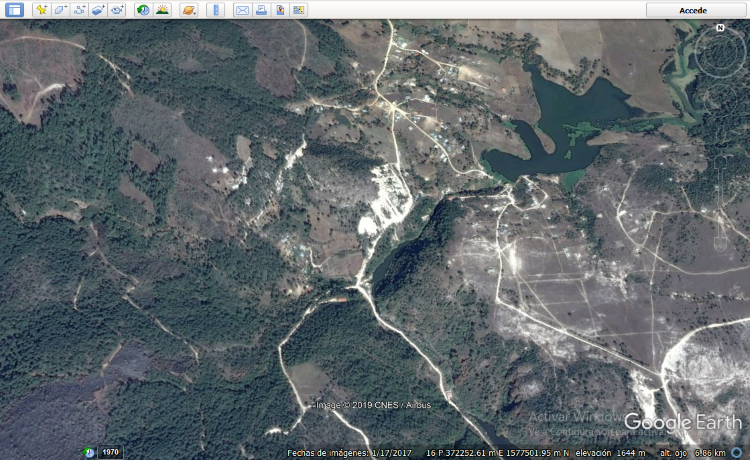
Step 1. Display the area where we want to obtain the Google Earth digital model.
Step 2. Import the digital model.
Using AutoCAD, having the Plex.Earth Add-ins installed. In principle, you have to start the session.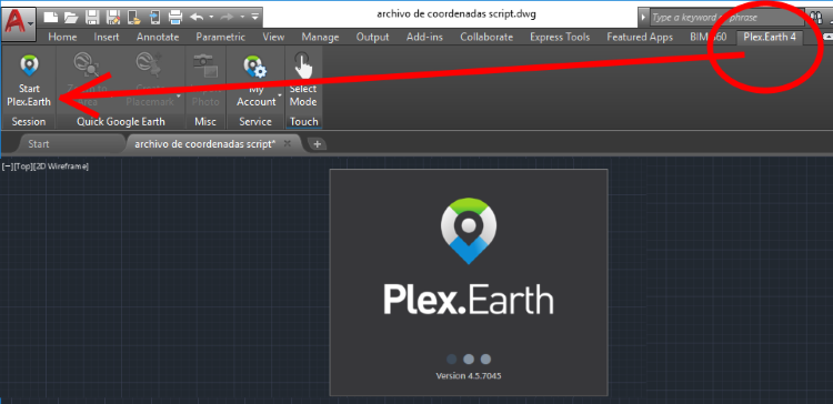
Then we select the “By GE View” option in the Terrain tab, it will ask us to confirm that 1,304 points will be imported; then it will ask us to confirm if we want the contour lines to be created. And ready; Google Earth contour lines in AutoCAD.

Step 3. Export to Google Earth
Having selected the object, we choose the KML Export option, then we indicate that the model is adjusted to the terrain and finally that it opens in Google Earth.

And right there we have the result.

De here you can download the kmz file that we have used in this example.
From here you can download the Plex.Earth plugin for AutoCAD.