Mobility Domain
Transport Networks, Connectivity and Accessibility
Mobility represents the systems that enable movement of people, goods, and services across the territory.
Mobility assets are managed as interconnected transport networks and structural crossings, supporting movement, accessibility, and territorial integration. These systems structure economic activity, urban form, and social connectivity, making mobility a central domain in territorial Digital Twin Systems.
Within the TwinGEO Framework, mobility is understood as a networked system, not as isolated infrastructure projects.

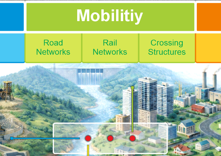
Core Components of the Mobility Domain
The mobility domain integrates the main transport and connectivity systems, including:
- Road network design and management
Planning, design, operation, and maintenance of road corridors and hierarchies. - Rail and guided transport systems
Fixed-guideway systems supporting mass transit and regional connectivity. - Bridges and structural crossings
Structures enabling continuity across physical barriers and constraints. - Urban mobility and accessibility planning
Multimodal movement, accessibility analysis, and integration with land use. - Transport infrastructure Digital Twins
Integrated representations of transport networks supporting performance analysis and scenario evaluation.
Together, these components define how movement and access are structured across the territory.
Mobility as a Cross-Domain System
Mobility interacts directly with other domains:
- Topography, through alignment, gradients, and constructability
- Hydrology, through drainage, flood risk, and structure protection
- Governance, through rights-of-way, expropriation, and land use regulation
- Buildings and utilities, through access, service provision, and urban form
Treating mobility in isolation leads to inefficient networks and unsustainable growth.
TwinGEO frames mobility as an integrated territorial system, embedded in governance and planning processes.
From Infrastructure to Mobility Digital Twins
Traditional transport models often focus on individual projects or corridors.
Within TwinGEO, mobility becomes part of an operational Digital Twin when:
- networks are modeled as connected systems
- structural assets are linked to lifecycle processes
- performance and accessibility are continuously evaluated
- scenarios are tested against territorial change
This supports decisions related to:
- network expansion and prioritization
- resilience and maintenance planning
- accessibility and equity
- integration with land use and development policies
Mobility and Decision-Making
Mobility answers a fundamental territorial question:
How do people and goods move across the territory, and how do infrastructure decisions shape accessibility and development?
By integrating mobility into Digital Twin Systems, TwinGEO enables more informed, equitable, and resilient transport decisions.
Domains as Systems, Not Categories
TwinGEO domains are not software groupings or discipline-based silos.
They are real-world system families that structure Digital Twin development across disciplines, lifecycles, and decision contexts.
Each domain contributes essential assets, processes, and observation pathways toward integrated territorial Digital Twin Systems.