Hydrology Domain
Water Systems, Risk and Territorial Resilience
Hydrology represents the territorial water systems that shape natural processes, infrastructure performance, and risk management.
Within the TwinGEO Framework, hydrology goes beyond hydraulic calculations.
It structures how water moves, accumulates, and interacts with land, infrastructure, and settlements — influencing safety, sustainability, and long-term planning.
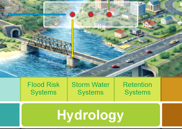
Hydrology assets are managed as territorial water systems, supporting flood risk management, stormwater control, and surface water retention across natural and urban environments.

Core Components of the Hydrology Domain
This domain integrates multiple hydrological and hydraulic dimensions, including:
- hydrological systems and flood risk assessment
- stormwater management and urban drainage design
- retention, detention, and nature-based solutions
- surface water dynamics and watershed behavior
- water supply and hydraulic distribution networks
- wastewater and sanitation systems
- integrated water systems and basin-level management
Together, these components reflect the full water cycle within the territory, not isolated infrastructure elements.
Hydrology as a Cross-Cutting Domain
Hydrology interacts with almost every other territorial domain:
- with governance, through land use regulation and floodplain management
- with topography, through terrain-driven flow and accumulation
- with mobility and buildings, through drainage, protection, and resilience
- with utilities, through supply, wastewater, and treatment systems
Ignoring these interactions leads to fragmented solutions and underestimated risk.
TwinGEO treats hydrology as a connecting domain, not a standalone discipline.
From Models to Water-Aware Digital Twins
Hydrological models are traditionally developed as isolated technical studies.
Within TwinGEO, hydrology becomes part of an integrated Digital Twin that connects:
- territorial assets
- lifecycle processes
- observation and monitoring
- scenario-based analysis
This enables:
- flood risk evaluation under changing conditions
- assessment of urban growth impacts
- comparison of gray and nature-based solutions
- long-term water management strategies
The Role of Hydrology in Decision-Making
Hydrology answers a critical territorial question:
How does water behave across the territory, and how do decisions amplify or mitigate risk?
By integrating hydrology into Digital Twin Systems, TwinGEO supports decisions related to:
- resilience and climate adaptation
- infrastructure planning and protection
- environmental sustainability
- public safety and regulatory compliance
Domains as Systems, Not Categories
TwinGEO domains are not software groupings or technical silos.
They are real-world system families that structure Digital Twin development across disciplines, lifecycles, and decision contexts.
Each domain contributes essential assets, processes, and observation pathways toward integrated territorial Digital Twin Systems.