AulaGEO Diplomas

Diploma - Civil works Expert

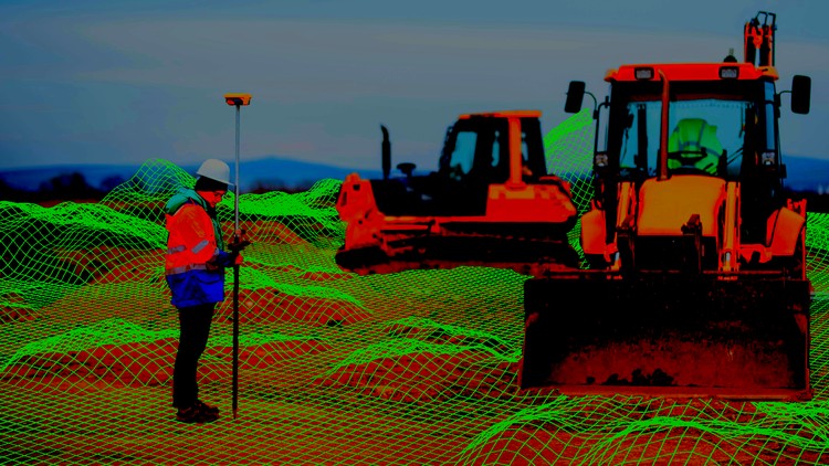
This course is aimed at users interested in the field of civil works, who want to learn the tools and methods in a comprehensive way. Likewise, to those who wish to complement their knowledge, because they partially master a software and wish to learn to coordinate the design of civil works in its different cycles of acquisition, design and disposition of results for other phases of the process.

Objective:

Create capacities for the acquisition, design and layout of civil works models. This course includes the learning of Civil 3D, one of the most used programs in the field of surveying; as well as the use of tools with which the information is interoperated in other phases of the process, such as InfraWorks. Additionally, it includes an AutoCAD module for the broad mastery of computer-aided design functionalities that are not explained in the Civil 3D modules.

The courses can be taken independently, receiving a diploma for each course but the “Diploma Civil works Expert” is only issued when the user has taken all the courses in the itinerary.

Advantages of applying to the prices of the Diploma - CivilWorks Expert

  1. AutoCAD ……………USD  130.00  19.99
  2. Civil 3D level 1 …… USD  130.00 24.99
  3. civil 3D level 2 …… USD  130.00 24.99
  4. Civil 3D level 3 …… USD  130.00 24.99
  5. Civil 3D level 4 …… USD  130.00 24.99
  6. InfraWorks ………… ..USD  130.00 24.99
View more
Autocad

AutoCAD course - learn easy

This is a course designed to learn AutoCAD from scratch. AutoCAD is the most popular software for assisted design ...
See more...
View more
civil 3D level 1

Civil 3D course for civil works - Level 1

Points, surfaces and alignments. Learn to create designs and basic linear works with Autocad Civil3D software applied to Topography ...
See more...
View more
civil 3D level 2

Civil 3D course for civil works - Level 2

Assemblies, surfaces, cross sections, cubing. Learn to create designs and basic linear works with Autocad Civil3D software applied to ...
See more...
View more
civil 3D level 3

Civil 3D course for civil works - Level 3

Advanced alignments, surfaces, cross sections. Learn to create designs and basic linear works with Autocad Civil3D software applied to ...
See more...
View more
civil 3D level 4

Civil 3D course for civil works - Level 4

Grades, sanitary drains, parcels, intersections. Learn to create designs and basic linear works with Autocad Civil3D software applied to ...
See more...

Golgi Alvarez

Writer, researcher, specialist in Land Management Models. He has participated in the conceptualization and implementation of models such as: National Property Administration System SINAP in Honduras, Management Model of Joint Municipalities in Honduras, Integrated Cadastre-Registry Management Model in Nicaragua, Territory Administration System SAT in Colombia . Editor of the Geofumadas knowledge blog since 2007 and creator of the AulaGEO Academy that includes more than 100 courses on GIS - CAD - BIM - Digital Twins topics.

Related Articles

Leave a comment

Your email address will not be published. Required fields are marked with *

Back to top button