The Bentley annual conference, with new format
This year's Bentley Annual Conference, to be held in Baltimore, changes the traditional format of Bentley Institute sessions. In this case, they have been separated by thematic lines, rather than by specific products, so it could be that in a single exhibition talking about bridge design, the water simulation used for the design with Heastad Solutions is seen, the structural design of the bridge using STAAD, data management with Project Wise, 3D simulation with Architecture and even the publication of results with GeoWeb Publisher.
More or less the agendas are separated in these thematic lines:
In the line of Architecture and Structural Design
- BIM and something else (Architecture)
- Bridge Modeling (BrIM)
In the line of Geoengineering
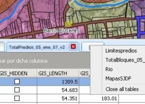
- Cadastre and land development
- Carreteras
In the line of Plants
- Oil and Gas
- Mining & Metals
In the line of distribution systems
- Communications
- Bus Routes
- Hydrosanitary
- Gas Systems / Electricity and energy production
For now, I have decided to follow the Cadastre and land development agenda, although it will interest me to see some roads.
To these events one must be clear that one is not going to learn, but to be empowered of the tendencies where technologies are walking, to acquire vision.
Among the best strategies of this conference is that they are not pushing for people to get their diploma at the end of the trainings, as that mechanics was not working very much for them because not all people are interested in the credits of the Bentley Institute at a time so valuable. So they have chosen to show practical experiences of the application of their technologies ... and that is better, because you learn more by seeing how they did it than by listening to the theory smoked.
 In the case of the geospatial area, one of the keynote presentations will be in charge of Mark Reichardt, president and CEO of the OGC (Open Geospatial Consortium), an organization that has long worked to promote standards in geospatial data exchange. Hence his presentation is called "The OGC Vision"
The rest of the geospatial agenda includes exhibitions of best practices in:
- Discover the benefits of workflows in civil and geospatial works processes, from conceptualization to construction
- Explore how new technologies reduce time for sales, with the simplification and integration of design with construction, site planning, development and operations.
- Attend a follow-up focused on best practices in land development
- Know about the advantages of an institutional strategy for information management
- Review of the latest trends in map production, publication and web publishing technologies in the e-government modality.
- Explore the evolution of organizations that maintain a legal cadastre, both at local, regional or national level.
- Exchange ideas and make suggestions to Bentley
- Get to know Bentley's next GIS generations like Bentley Map (formerly Microstation Geographics), Bentley Geospatial Server, Bentley Cadastre (Geospatial Administrator with more friendly XFM applications) and the latest version of Bentley Geo Web Publisher (VPR more friendly?)
The conference will be from 28 to May 30 in Maryland, Pennsylvania and there will be no conference this year in Europe.