
How to upload a kml to Google Maps
Several days ago a friend sent me a question about uploading maps that can be displayed on Google Maps without getting into the API, here I dedicate a little time to it.
1 Create a kml
 A kml can be created almost with any mapping program, it can be ArcGIS, Manifold, Bentley Map. GvSIG or AutoCAD Map.
You should only do file / export / kml or something similar
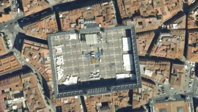
In this case, I will export this geometry.
The type of line, fill, and other features will go with the file, the more ... the bigger it will be.
2 Open it with Google Earth
To view the file in Google Earth: File / open

3. Upload it to Google Maps
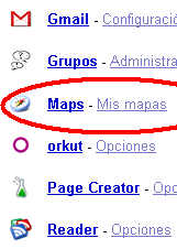 To upload it to Google Maps, you must have a gmail account and you just have to add Google Maps to your profile, and when you get to Google Maps, you can log in.
Then you choose the option to create a new map and import. Then by clicking on the figure you can add data to it, including photographs or web content.
 You can upload kml, kmz or GeoRSS files up to 10 MB
4. Deploy it on Google maps
Once uploaded, you can see it and even Share the link for others to see if you decide it is public access.

And as Gerardo has said in the comments, if the file is stored somewhere, knowing the url, it is written in the "search map" space and voila, it is displayed. As long as it's not a very large file ... 10MB I guess.
![]()
To solve the size problem, the geometry can be simplified from the GIS program, taking care that the topology is maintained.
As an example here I leave The map of the 298 Municipalities of Honduras in kml format, when exporting normal measures 104 MB, this has been simplified using Manifold GIS until it is in a size of 12 MB ... one day we talk about how Manifold does.


What program are you using to convert the file to kmz?
I want to upload a map, and put it on Maps but I get the moment to import the .kmz file that have not been made changes in the maps, and I have done cn tests a few Kb and I get the same.
Does anyone know I'm doing wrong?
I would like to be able to add gmail to the map to post photos I have thousands since I live half a block from a beautiful beach
I did not know that limit...yes, it also has limits in terms of not being able to display 3D objects, for example. But if there is a screen overlay, it will show on the Map...or custom icons etc. It is a very fast way to show kml in Maps.
And by the way, I am already greeting you for this year and wishing you all the luck you deserve for next year! ... as well as congratulating you on your excellent blog, which in my opinion should be the most Human there is, within these topics technicians you deal with, which for me is the most important thing.
Hey Gerando, how cool is that tip. Only the file must be less than 10 MB in size.
Also, if you have a kml/kmz uploaded to some server, you can paste the corresponding URL in the “Search on Map” box and then click there. The kml will be loaded. Eye! The file name must not contain capital letters or spaces.
That way you will see kml / kmz on the map. Then, you can also customize and / or paste the link of that map (which will show the kml too).
Regards!